-
French home energy bills to rise in 2026
Household electricity and gas bills will increase by around €50 per year
-
Social charges on UK government pensions: France residents report progress
Issue now drawing attention at the highest levels
-
Good news for many micro-entrepreneurs in France: plans to lower VAT threshold rejected by Senate
Vote reverses proposal to lower tax exemption thresholds for self-employed workers
High wind warnings increased over storms in northern France
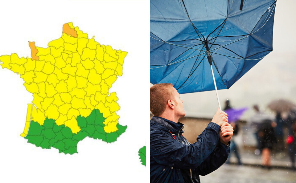
Two departments are now on the second-highest alert level with gusts of up to 130km/h forecast

Parts of northern France could see gusts of up to 130km/h overnight on Friday (March 31) as storms sweep in.
Météo France has increased the alert level for two departments, Manche and Pas-de-Calais, putting them on the second-highest orange level, which advises locals to limit their movements and exercise extreme caution outside.
Two-thirds of France is on a lesser yellow warning - which advises residents to exercise caution and monitor weather updates - for high winds on Friday.
Northern France woke up to storms on Thursday and they are likely to persist well into Friday evening, with yellow warnings remaining in place.
It is a far cry from France’s south-west on Wednesday, where temperatures passed 30C and broke records for March.
You can keep up to date with further announcements on the France Météo vigilance page .
Le fort coup de est confirmé cette nuit et demain sur la moitié nord-ouest du pays. Voici, en animation, la chronologie et les rafales maximales prévues, sachant que sur les caps exposés (Ouessant, Cotentin...), des pointes à 130 km/h sont possibles.
— La Chaîne Météo (@lachainemeteo)
Related articles
Watch: Villagers record ‘almost apocalyptic tornado’ in central France


